
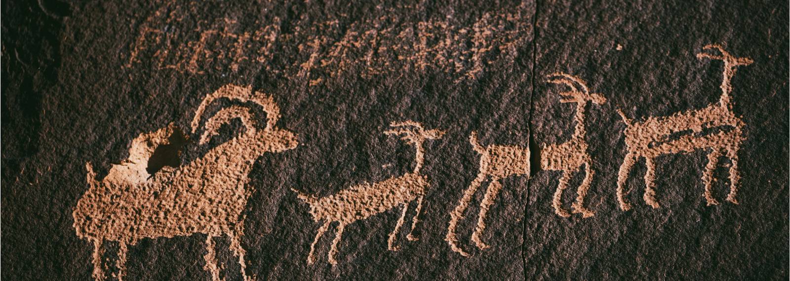
From hunting dogs to Silk Road camels and urban cats, this lecture series explores how animals shaped human history, using archaeology and history to uncover the deep entanglements between people and domestic species.
Filter by:
Filters
Start month
Day of the week
Time of day
From hunting dogs to Silk Road camels and urban cats, this lecture series explores how animals shaped human history, using archaeology and history to uncover the deep entanglements between people and domestic species.

A five-week tutor-led data analysis course taken entirely online. The course introduces you to the use of QED Statistics and R software.

Part-time over five weeks, this tutor-led training course can be taken from anywhere in the world. It will appeal to students and practitioners who want to improve their ability to conduct mammal and reptile surveys.

Why do animals behave the way they do? In this course we will look at the full range of behaviours found in the animal kingdom, from simple escape behaviours to complex tool use and their evolution.
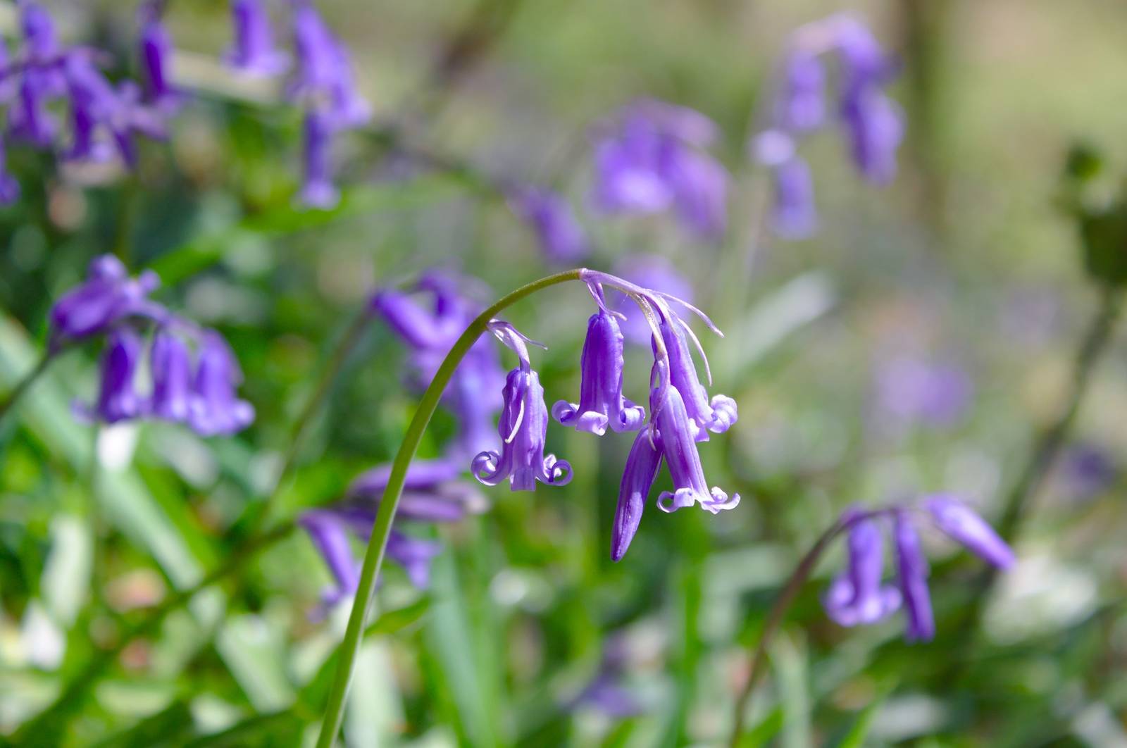
Biodiversity loss is evident no matter where we live. To reverse the current decline, we need to understand how individual species interact with their environment, while also appreciating the practical strategies to monitor and conserve species.

This course provides a solid grounding in business sustainability leadership, introducing key topics such as net zero and the circular economy, and guiding participants to lead meaningful sustainability initiatives in their own organisations.

A sense of place, community, and urban design are core to anyone’s experience of living in a city. This course explores how community engagement can be key to building more sustainable cities.
How does the stationary nature of plant life necessitate its connections with other living things? The course will explore plant behaviour as positive, negative, and neutral interactions with microbes, animals, plants, as well as humans.

Investigate the power of maps and spatial data to document and illustrate local and global issues. Learn how to use Geographic Information Systems (GIS) to explore the world around you and share ideas.

Part-time over five weeks, this tutor-led training course can be taken from anywhere in the world. It will appeal to students and practitioners who want to improve their ability to conduct bird surveys.

A 10-week, tutor-led data analysis course taken entirely online. The course introduces students to the use of QED Statistics and R software.
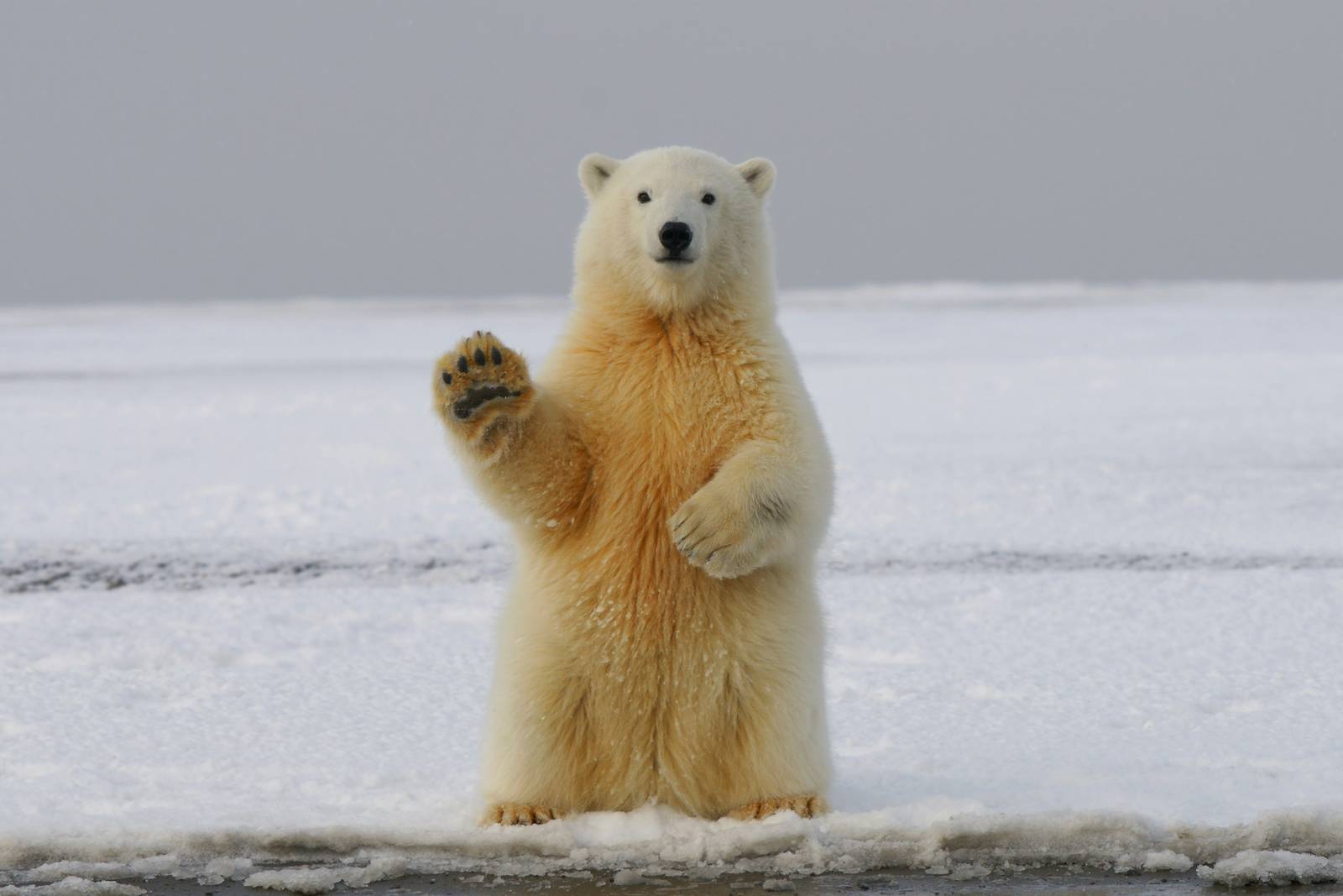
Life is a struggle, for any organism. Plants, animals, and microbes share the same planet and have to battle or befriend others to survive. Participate in this day event to explore relationships that enable survival of organisms.