
Oliver Burdekin

Departmental Lecturer in Environmental GIS

Oliver Burdekin is a Departmental Lecturer in Environmental GIS and a GIS consultant and trainer. He has worked with geographic information systems for more than a decade, specialising in environmental and ecological applications of spatial analysis, mapping and field data collection.

Alongside his teaching at Oxford, Oliver runs burdGIS, through which he provides GIS training and consultancy to organisations working in conservation, planning, heritage, environmental management and related sectors. His work spans QGIS, ArcGIS, web mapping, spatial data management and mobile field survey workflows.

Oliver has taught GIS to a wide range of learners, from complete beginners to experienced professionals, in both online and face-to-face settings. His particular interests include practical approaches to spatial analysis, cartography, geospatial data quality and the use of GIS to support ecological and environmental decision-making.

He is also interested in how new technologies, including mobile data collection and immersive visualisation, can be used to improve the way spatial information is collected, analysed and communicated.
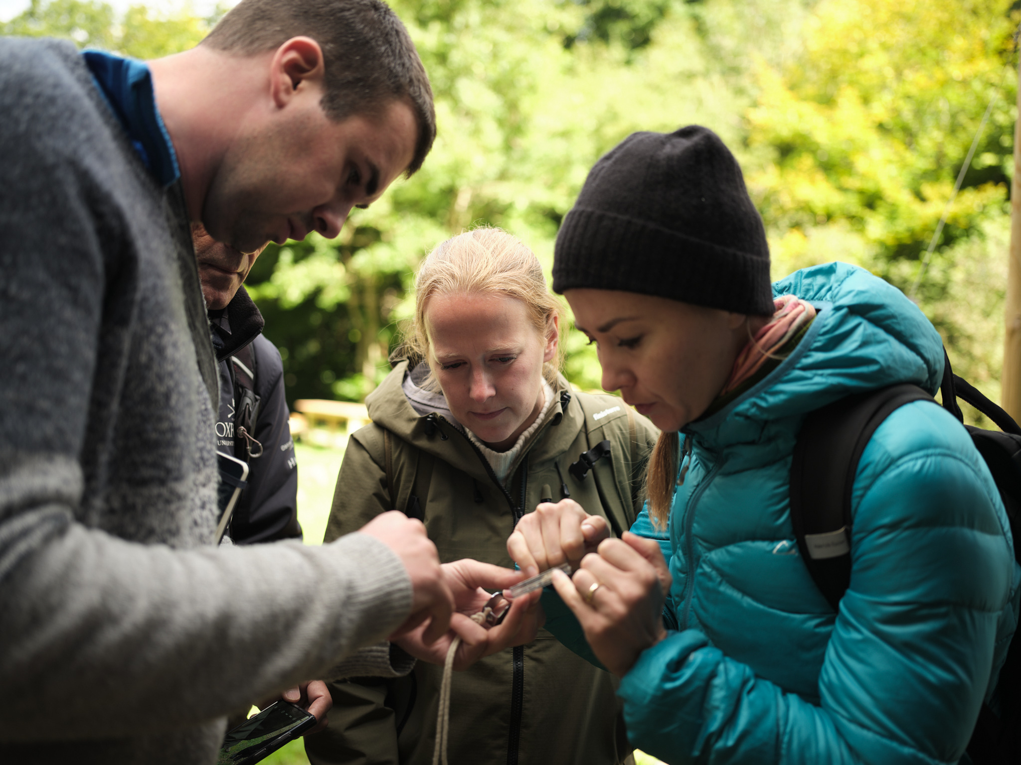
Oliver’s teaching is strongly practical and problem-based. He aims to help students understand not only how to use GIS software, but also how to think critically about spatial data, analysis and the decisions that underpin a GIS workflow.

Oliver has developed and delivered teaching in classroom, online and field-based environments. He is particularly interested in adult learning and in designing activities that make technically demanding material accessible without oversimplifying it. He places particular emphasis on learning through doing, using real datasets and realistic problems wherever possible.

His curriculum development work includes updating GIS teaching for changing software, data sources and field technologies, and exploring ways to connect practical skills with broader issues such as data quality, reproducibility and good spatial decision-making.

Oliver’s research interests centre on the application of GIS and spatial analysis to ecology, conservation and urban biodiversity.

His current work includes the use of spatial modelling to investigate species distributions and habitat relationships, with a particular interest in how environmental variables and the structure of urban and semi-urban landscapes influence the suitability of habitats for different species.

More broadly, his research interests include spatial data quality, ecological survey design and the use of GIS to communicate environmental patterns and support evidence-based decision-making.

Back to top